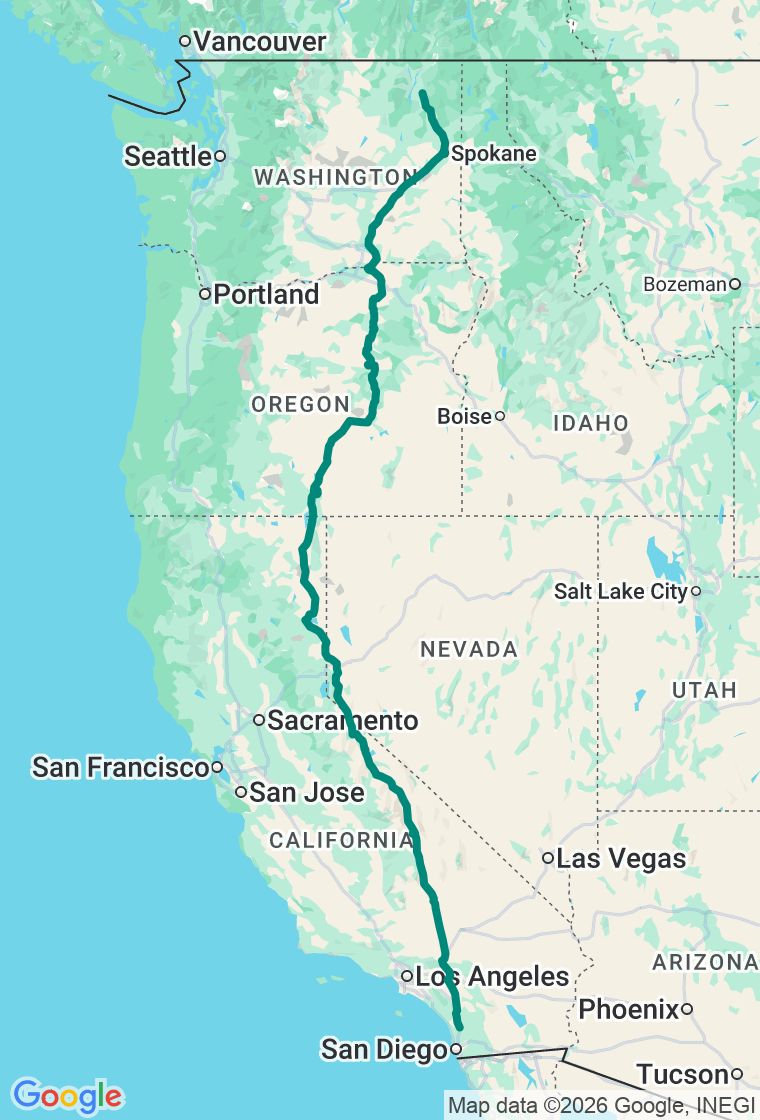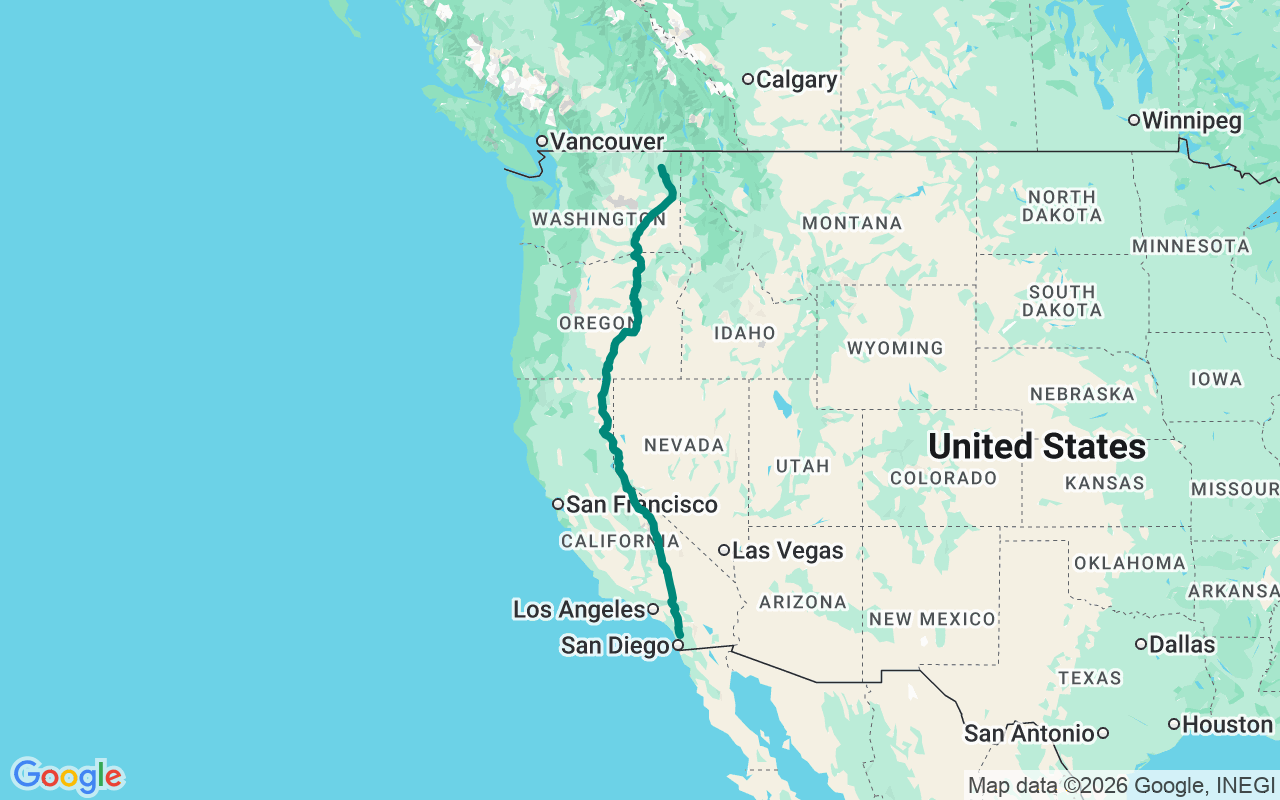
Northbound — run US-395 the length of the West's eastern flank: out of the San Diego hills, up the Owens Valley beneath the Sierra escarpment, across the Great Basin, and over the Columbia to the pine country of northeast Washington.
The Three Flags Highway
One highway number, four states, and the entire dry back side of the West strung between them.
In the 1920s, boosters sold US-395 as the Three Flags Highway — a single auto trail meant to link three nations, Mexico to Canada, along the arid country east of the mountains. The border-to-border dream faded (the road was trimmed back to Hesperia in the sixties, its old run down to San Diego swallowed by the interstates), but the highway it named is still the great scenic shortcut up the dry side of the Sierra and the Cascades. This run takes it nearly end to end: out of the Escondido hills on the historic corridor now carried by I-15, up the Owens Valley with the Sierra escarpment standing ten thousand feet off one shoulder, past Mono Lake and Reno, through the emptiest ground California, Oregon, and Washington still keep, to the pine country above Colville. Four days, 1,400 miles, one number.
The first day climbs out of the coastal hills and drops into the Owens Valley, the deepest trough in the whole Sierra rain shadow, with the range wall running unbroken up the west side. At Lone Pine the granite jumbles of the Alabama Hills pull you off the road — the short walk to Mobius Arch frames Mount Whitney through a hoop of weathered stone, and the basin around it has stood in for a hundred Westerns. Easy miles carry you up the valley to the Bishop area for the night, the escarpment going pink as the sun leaves it.
Day two is the high point, literally. North of Bishop the road tops out at Conway Summit — 8,143 feet, the highest ground on all of US-395 — then tips down toward Mono Lake, where the Mono Lake Vista Point looks out over a sheet of alkaline water studded with tufa: knobby towers of limestone that grew underwater where calcium springs met the lake’s carbonate chemistry, then stood up bare when the water dropped. From there 395 slips into Nevada for a stretch — the edge of Carson City and Reno — before curling back into California’s forgotten northeast corner and the ranch town of Alturas for the night.
The third day is the long one and the empty one — better than four hundred miles across country where the towns sit an hour apart and the gaps between them are the whole point. Crossing into Oregon near Lakeview, the highway runs the base of Abert Rim, a fault scarp that lifts some 2,500 feet of tilted basalt straight off the valley floor — the longest exposed scarp in North America and among its tallest. The Abert Rim Viewpoint near Valley Falls is the place to stop and crane your neck at it. Beyond, the road threads the high desert past lonely outposts around Riley and Burns before bending north for Pendleton and the evening.
The last day is the shortest one of the four, a bit over two hundred fifty miles, and it trades sagebrush for water and timber. 395 crosses the Columbia and climbs into eastern Washington, dropping into Spokane, where Riverfront Park wraps the falls that gave the city its reason to exist. Then it’s north through the Colville pines to the finish at Colville itself — an unhurried mountain town that makes no fuss about being the end of a famous road, which is about the right note to close on.
Hold this one loosely. The Owens Valley alone has a hundred turnouts, and the best one is always the unmarked pullout where the escarpment lines up just so and nobody thought to put a sign. Day three’s high desert looks like nothing at highway speed and turns into everything the moment you actually stop in it. The plan is a backbone, not a cage — wander off it whenever the light or the sheer emptiness makes the case, and out here it makes the case often.