Northbound — ocean always on your left, natural progression toward the redwoods
The Whole Coast, Three Days
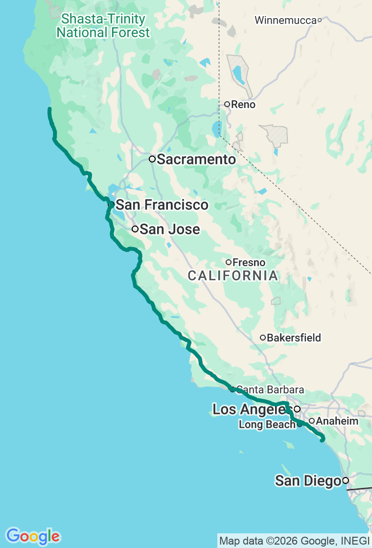
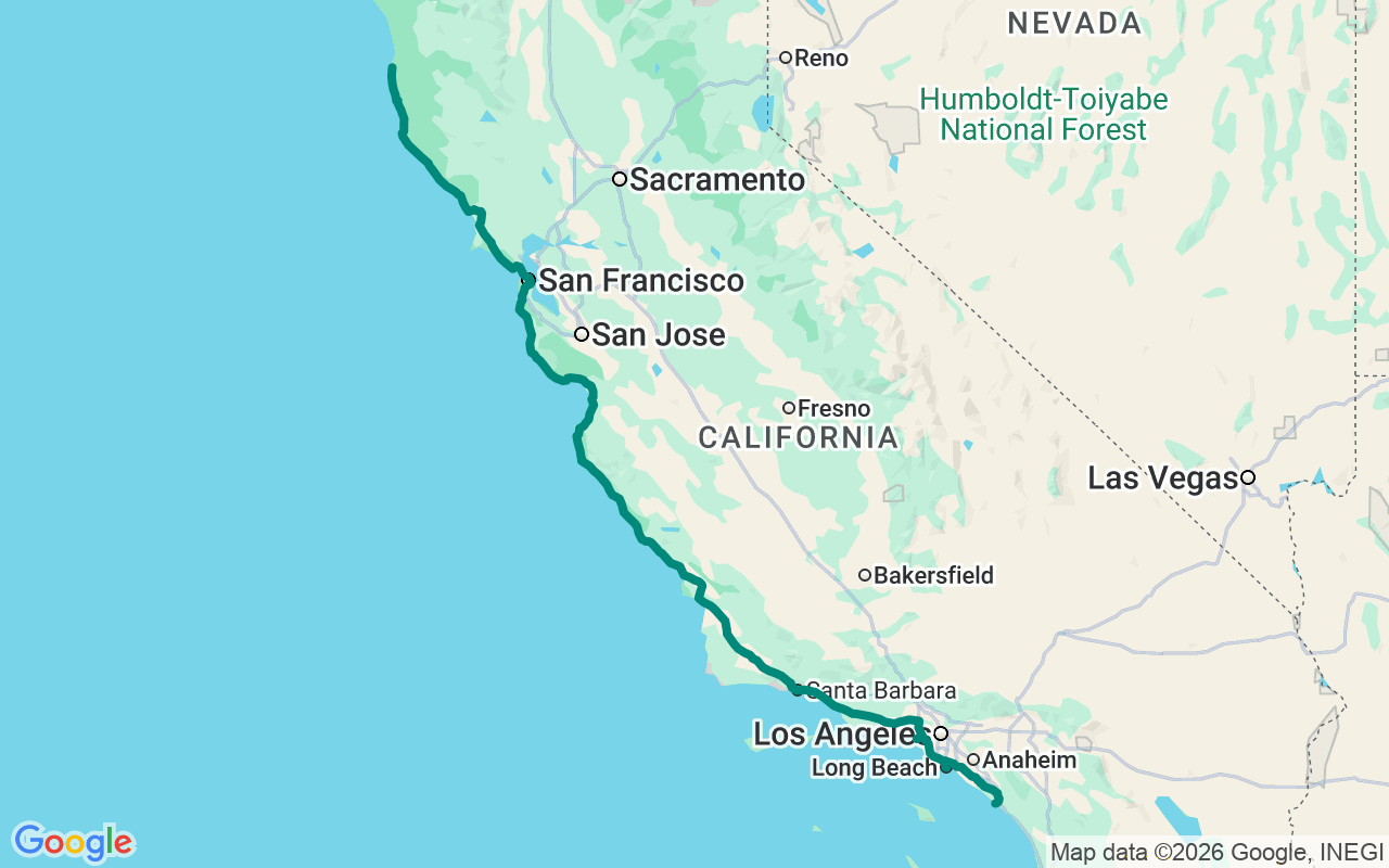
The whole California coast in three days — beaches to Big Sur cliffs to the Golden Gate to the wild Mendocino headlands, on the most famous road in America.
Highway 1 doesn't have one character; it has all of them. This is the full run — three days from the Southern California beaches up the entire coast to the Victorian village of Mendocino: the golden Central Coast, the cliff-cut drama of Big Sur, the Golden Gate, and the windswept north coast where the road has the cliffs to itself. Big Sur is open again (it reopened in January 2026 after the latest slides), but this is the most landslide-prone coast in the West, so check Caltrans the morning you drive. It's slow, winding, fog-prone, and worth every extra hour.
Day 1 — Southern California to Avila Beach. Coffee at Bear Coast in Dana Point, then up the coast. Detour over San Marcos Pass behind Santa Barbara to the Cold Spring Tavern, an 1860s stagecoach stop in the oaks, for lunch. Dinner on the water at Pismo Beach and a night at the Avila Lighthouse Suites, in the little oak-valley cove of Avila.
Day 2 — the Big Sur day. Breakfast in Cambria, then Hearst Castle, William Randolph Hearst's hilltop fantasy of 165 rooms that Julia Morgan spent three decades building. North into Big Sur: McWay Falls, an eighty-foot waterfall that drops straight onto a cove beach (the overlook trail's been closed for repairs into 2026, so you may be admiring it from up the road), and the Bixby Bridge, the 1932 arch that's the postcard of the whole coast. Down past the San Mateo bluffs and Bean Hollow to Half Moon Bay for dinner and a beachfront night.
Day 3 — the Golden Gate north. Coffee, then over the Golden Gate Bridge to the North Vista Point for the classic look back at the towers and the city. Up into Marin: the Muir Beach Overlook, Tomales Bay (sitting right on the San Andreas Fault), lunch on the Sonoma coast, and on up the rugged, near-empty north coast to Mendocino — a New England village of Carpenter Gothic Victorians perched on the headland, where you'll sleep at the Nicholson House.
And hold the plan loosely — Highway 1 is one long argument for it. The plan's a backbone, not a cage: the turnout where the whales are spouting, the redwood canyon down a side road, the tide pool at low water, the bakery in a town of four hundred. This coast rewards the driver who treats the schedule as a suggestion and the next pullout as the plan. Just confirm the road's open through Big Sur, mind the fog and the cliff edges, and let a great view eat an hour. The best stop is the one that wasn't on the list. Go find it.