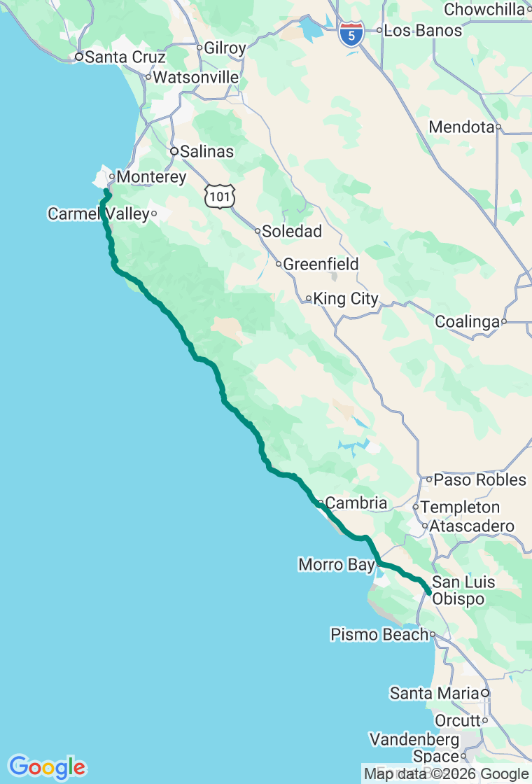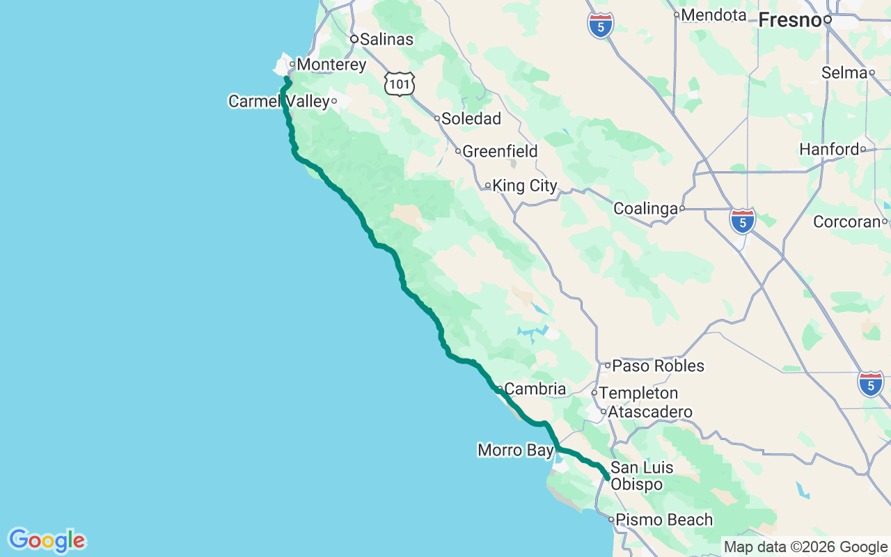
Northbound — ocean on your left the entire way
The Slow Coast
Nobody hurries Highway 1. The road won't let you — and after the first few cliffs, you stop wanting to.
This is the slow coast: a hundred and thirty-odd miles that swallow a whole day, because the point was never arriving in Monterey. The point is the two-lane ribbon in between, pinned to the edge of the continent with the Pacific straight down off your left shoulder. One piece of housekeeping first — Big Sur is perpetually mending some landslide or running a one-way flagging zone, so check Caltrans QuickMap the morning you go. The road's open; it's just rarely open simply.
Start full. Breakfast at Sally Loo's in San Luis Obispo is the right kind of unhurried — farm-to-table eggs and house-baked everything in the old Railroad District — and let it remind you to top off the tank, because fuel north of here gets scarce and proud of its prices.
Hearst Castle is the day's first real decision. The hilltop pleasure-dome William Randolph Hearst and architect Julia Morgan spent twenty-eight years building is genuinely staggering — 165 rooms, the Neptune Pool, more imported art than some small countries hold — but you can't just wander up. It's guided, ticketed, shuttle-only, and it'll cost you a good two hours. Book ahead, then decide honestly whether you're a castle person. There's no shame in waving from the highway and driving on.
A few miles north, pull into Piedras Blancas, where a free boardwalk hangs over a beach full of northern elephant seals — thousands of them, bulls the size of small cars, snorting and flopping and now and then going to war over a patch of sand. Winter is the headline act, when births and breeding peak in January, but there's always a crowd hauled out down there, and admission is exactly nothing.
Then the coast gets serious. McWay Falls drops eighty feet straight onto a cove so flawless it looks rendered — which it half is, since the beach has been off-limits to people for decades, left entirely to itself. You take it in from a pullout above the road, fight for parking, get the photo everyone already has, and admit it was worth it anyway.
Lunch is Nepenthe, perched eight hundred feet above the water and serving that exact view since 1949. Be clear-eyed: you're paying for the terrace, not the kitchen. Order the Ambrosia Burger, find a seat at the rail, and let the bill go — an hour in the sun above that drop is the thing you actually drove here to buy.
North of the village comes the cover shot: Bixby Creek Bridge, a 714-foot concrete arch flung across a gorge, its deck riding 280 feet above the creek and looking every bit as impossible in person as it has on postcards since 1932. The pullouts are small and the urge to stop on the bridge is strong — resist it, use the dirt turnout at the north end, and live to post the picture.
Roll into Carmel for dinner at Mission Ranch, the 1800s dairy Clint Eastwood bought in '86 to save it from the bulldozers. You come for the meadow: sheep grazing down toward Point Lobos and the sea, the whole thing gone gold at sunset with a piano running inside. The food is honest American comfort; the reservation is not optional. Book the early seating and chase the light.
Then it's a few minutes up to the InterContinental Clement Monterey on Cannery Row, steps from the aquarium and right on the bay. After a day spent driving the literal edge of the map, ending it with the water still in the window is the correct call. Crack it open and listen to the sea lions argue.
And hold the itinerary loosely — Big Sur rewards that more than most roads do. Half its best turnouts have no sign and no name; the fog that 'ruins' a June morning turns the coast into something stranger and better than the postcard; and the redwood canyon you duck into on a whim will out-last the stop you planned. The plan is a backbone, not a cage — it's here so you can wander off it without ending up stranded after dark. When a pullout sits empty with a view that takes the wind out of you, that is the trip. Pull over.