Southbound — drop down US-168/158 onto the barrier islands and ride the thin strip south to quiet Ocracoke
One Road, to the Ferry
One thin highway, a string of barrier islands, and at the far end a ferry you'll be glad you took.
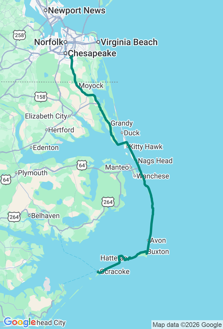
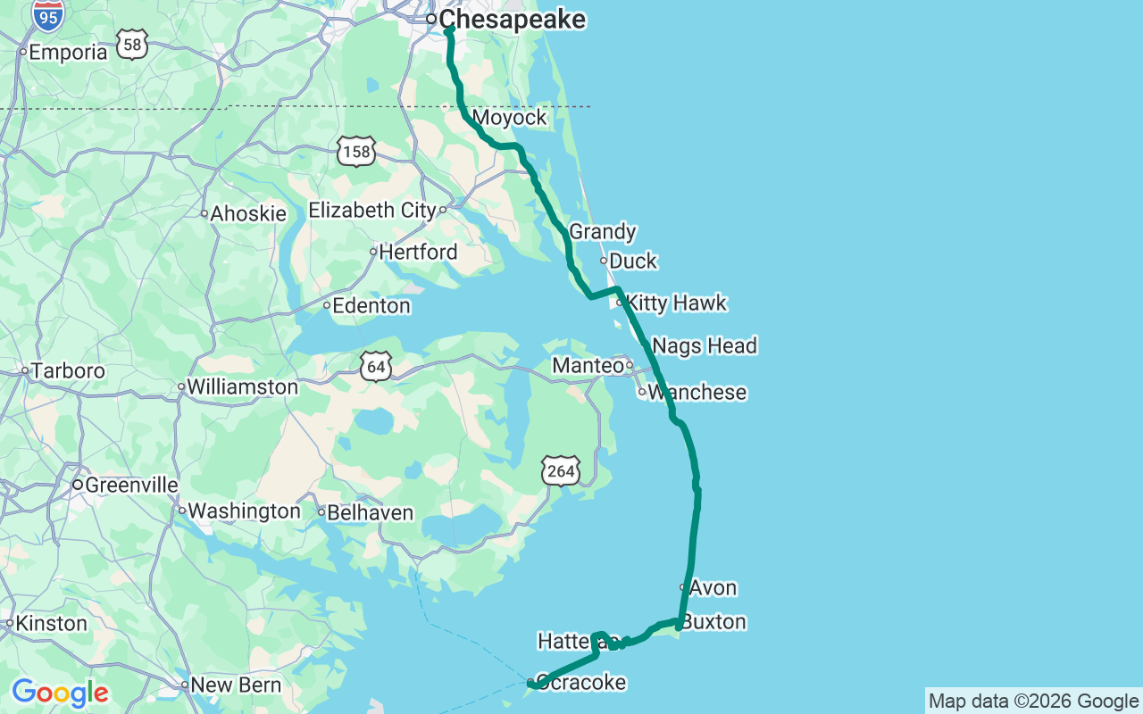
The Outer Banks are a chain of sandbars barely wide enough for a road, and NC-12 is that road — the single lifeline running south from Kitty Hawk down Hatteras Island to a free ferry across to Ocracoke. It's a day of first flights, tall dunes, fishing-camp seafood, a barber-pole lighthouse, and Blackbeard's old anchorage, strung along sixty-some miles of two-lane with the Atlantic on one side and the sound on the other. Two things to know going in: NC-12 floods and closes in storms (and hurricane season runs June into November), and there's no bridge to Ocracoke — the ferry is the only way across. It's free, it takes about an hour, and in summer the wait can outlast the crossing, so go early.
Start with a big breakfast on the mainland in Chesapeake, Virginia, then drop down US-158 and cross onto the islands at Kitty Hawk — the OBX runs on diner breakfasts, and you'll want the ballast.
First stop is the Wright Brothers National Memorial, where on a cold December morning in 1903 two bicycle makers from Ohio coaxed a flimsy machine off the sand for twelve seconds and a hundred and twenty feet — and by the fourth flight that same day had stretched it past eight hundred. Walk the flight line; markers stand at each liftoff and landing, with the granite monument crowning the hill above. Then Jockey's Ridge, the tallest active sand dune on the Atlantic coast — a small Sahara of shifting sand where Kitty Hawk Kites still teaches people to hang glide off the crest, with the best sunsets on the beach (mind your feet; the summer sand will cook them).
Lunch at Sam & Omie's in Nags Head, a fishing-camp seafood joint going since 1937, where the charter captains once fueled up before heading out — order the chowder and a fried-fish basket and don't go looking for tablecloths.
Head south down Hatteras Island. Fuel up at the Blue Whale in Salvo (which sells gas, bait, and, improbably, two hundred hot sauces), then reach the Cape Hatteras Lighthouse in Buxton — at a hundred and ninety-eight feet the tallest brick lighthouse in the country, its black-and-white spiral unmistakable. (It's mid-restoration and closed to climbing through 2026, so admire it from the ground — and marvel that in 1999 they jacked up the whole tower and rolled it nearly three thousand feet inland to save it from the sea.)
Catch the ferry across to Ocracoke — a village that's been ferry-only forever, clustered around a little harbor, where Blackbeard met his end in 1718 and the locals still speak with a brogue older than the country. Dinner at Howard's Pub, the island's raw-bar institution since '79, and a harbor-view room at the Ocracoke Harbor Inn.
And hold the day loosely — out here the weather and the ferry will rearrange it for you anyway. The plan's a backbone, not a cage: the empty beach access with nobody's tire tracks on it, the sound-side dock at sunset, the wild ponies in the Ocracoke pen, the seafood shack a local points you to. The Outer Banks reward the traveler who lets the islands set the pace — miss a ferry and you've just been handed an extra hour on a beach. The best stop is the one that wasn't on the list. Go find it.