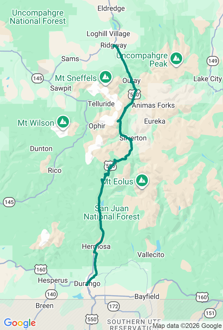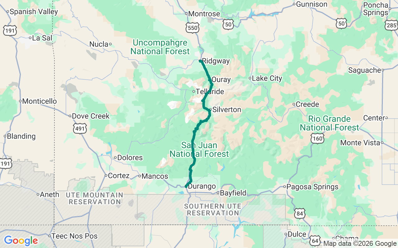
Northbound from Durango — climb through Silverton, then the biggest drop-offs ride the exposed outside edge above Ouray, finishing in the ranch country at Ridgway
No Guardrails, No Apologies
Some roads have guardrails. This one has the good sense to assume you're paying attention.
The Million Dollar Highway is the stretch of US-550 that climbs over Red Mountain Pass between Silverton and Ouray — 11,018 feet, blasted into vertical cliffs above a gorge, with nothing but air between your outside tire and a very long fall. Nobody fully agrees where the name came from: a million dollars a mile to build, a million in gold ore left in the roadbed gravel, or a passenger who swore she wouldn't drive back for a million bucks. Pick the legend you like. What's not in dispute is that this is one of the great mountain drives in the country, and that you want to be rested and sober for it.
Begin south in Durango with breakfast at Jean Pierre Bakery, an honest French bakery that's been buttering this town since 1969 — come for the croissants and the pastry case, not the fancy plates — then point it north up the Animas.
Silverton is the first gut-check of altitude: a National Historic Landmark mining town at ninety-three hundred feet where the main drag is paved and the side streets are still proudly dirt. Get a coffee and a breakfast burrito on the rooftop at Coffee Bear, take in the old false-front facades, and top off the tank here — there is no fuel and no mercy on the pass ahead.
Then the highway earns its name. It climbs toward Red Mountain Pass, the slopes stained rust-red with iron ore, the skeletons of the silver boom — the Yankee Girl headframe, the sprawling Idarado — still clinging to the mountainside. The driving is exactly as advertised: narrow, exposed, switchbacked, no shoulder, no room for error. In winter the corridor crosses seventy named avalanche paths; in summer it simply demands every bit of your attention.
Coming down the north side, two quick stops reward a tap of the brakes. Ironton is a ghost town just off the east shoulder — a dozen weathered buildings, the bay-windowed 'White House' the photogenic centerpiece, all that's left of a town of hundreds gone since the 1893 crash. A few miles on, Bear Creek Falls drops better than two hundred feet into the gorge right under the highway bridge, with a monument at the pullout to Otto Mears, the man who first cut this road as a toll route.
Land in Ouray — the 'Switzerland of America,' a Victorian town wedged into the head of a box canyon and ringed on three sides by peaks. Lunch is unfussy and perfect at Maggie's Kitchen: an elk or green-chile cheeseburger and a basket of onion rings on the Main Street patio. Then run a few minutes north to Ridgway for dinner at the Colorado Boy Pub & Brewery, where the scratch pizza is the entire point.
Double back to Ouray to sleep at Timber Ridge Lodge, a small, freshly-kept mountain lodge with a fire pit, free trailer-and-bike parking, and the Ouray Hot Springs a short walk away — exactly where you want to soak the white-knuckle out of your shoulders before bed.
And hold the plan loosely — but on this road, hold the wheel tight. The itinerary is a backbone, not a cage, and the San Juans are full of reasons to abandon it: a jeep road peeling off toward a basin of wildflowers, a ghost town nobody mapped, a hot spring you didn't know was there. Wander, by all means — just do it below the snowline and before the afternoon storms stack up over the peaks, and save the cliff-edge miles for a clear head and a dry road. The best stop out here is the one nobody wrote down. Go find it.